Submitted by WA Contents
Using 3D Mapping for RE and property management, how to benefit from this technology today?
France Architecture News - Mar 14, 2017 - 20:24 13776 views
Drone technology, an unmanned aerial vehicle (UAV), is a huge jump for investors now and becomes a promotional tool to present their projects in detail. MIPIM's other high-tech session has discussed latest developments in drone technology and showed how investors introduce their designs to their clients by creating different mediums through this flying vehicle.
Pix4D provides photogrammetry powered drone-based solutions for surveying, monitoring, and promoting real estate projects. From terrain inspection & historical monitoring to engaging online 3D experiences. With turnkey drone-based services delivered through an online platform, Air Support demonstrated how professional 3D mapping brings concrete results to your project and stakeholders.

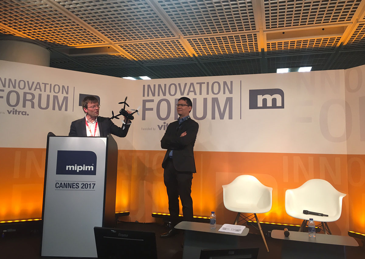
Phan Thai-Binh, CEO, Parrot Air Support, gives a speech at Innovation Forum, MIPIM
Titled 'Using 3D Mapping for RE and property management, how to benefit from this technology today?', the session held by Phan Thai-Binh, CEO, Parrot Air Support and Dr. Strecha Christoph, CEO, Pix4D SA and showed how drones work and create different mediums to promote real estate projects.
''Drone captures images, collects all data and through these images we create marketing materials for the clients,'' said Dr. Strecha Christoph. ''All marketing materials are directly integrated into your business tools.''

''Drones are very efficient, reliable data and platform to deliver quick and detailed project mediums,'' said Dr. Strecha Christoph. The experts also presented the workflow of the process displaying how is the data converted from 2D images to mobile apps for sharing and 4th dimension. Drone technology uses a crane-based camera mapping system offers an alternative and enables the automated capturing of on-site data, both at minimal cost and without interfering with the site.
In the session, Phan Thai-Binh and Dr. Strecha Christoph compared drones with BIM technology and stated that ''the construction industry is fully embracing the concept of BIM, as it provides an efficient way to manage complex projects. A prerequisite for BIM is to use very detailed schedule and build sequences defined by BIM must be strictly adhered to.'' To achieve this, regular and accurate site surveys are crucial.
All images © WAC