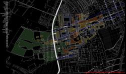
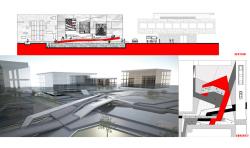
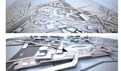
The site is Park Royal in west London and covers an area of 5klm by2klm. The aim is to stimulate the existing industrial area which is under decline. A set of parameters is derived from the contextual forces around the site (industrial grain, infrastructure, land use, open space). For me contextualism is seen as important to address “the problem of massive urban disconnection” of areas with industrial character like Park Royal and Willesden Junction. The site is isolated by railway lines, canal and highway roads. The main challenge was to stitch the area with the surrounding to prevent its further isolation.
The importance of its location is its proximity to Heathrow, the city centre, major highways like A40, M40 and its accessibility by tube lines and overground.The site is adjacent to three boroughs, which are Brent, Ealing and Harrow. Further development of Crossrail includes Willesden junction as an important transport hub.
2008
2009
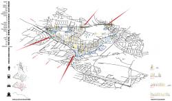
The first step was to identify four gateways as connectivity points of our site according to analysed traffic percentage each with its own unique character. According to the analysis of charts the site will develop as a major business hub as well as providing opportunities for growth of manufacturing and other services. 11000 jobs are expected to be concentrated in creative business clusters, educating workshops and new job creator.
Observing the recent development heights around London, this site is flat, due to the scale and density of its buildings. There is also a difference of scale of the surrounding and the site; therefore it was needed to introduce tools to correlate the scale of the site with the distinct identities of its surrounding.
The proposed environment will encourage people to stay not just come and work’. The focus is in the existence of walkable local neighbourhoods, within a permeable, connected grid, that favours pedestrians and public transport modes and intensifies around transport hubs and interchange. The aim is to recycle the commercial land to the demand of office accommodation. Creating residential areas is not the primary goal, as the development of residential spaces is only driven by the need to change the profile of the industrial cluster to a mixed-use hub.
The starting idea is a grid that would be modified in order to respond to 3 conditions: 1.Directional flow 2.Individual perception and experience 3.Distinct character of communities.
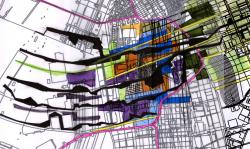
The different character of the communities in the site is depicted in the meshiness of its overall grid, which is modified so as to give the chance of intensification in specific parts. Urban platforms are proposed to provide orientation inside the site and instigate the surrounding to integrate with the site.
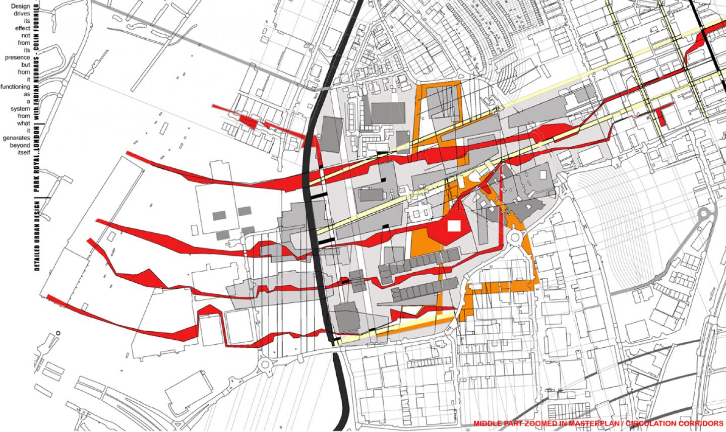
The proposal focuses on four corridors of development that will act as a spine primarily to connect our site to the surrounding and then to intensify integrated spaces that would penetrate the different land uses. There’s a completely legible series of paths, lanes, streets, squares that all lead to a confluence of activities and events. Primacy to the street as a building block of city space and to pedestrians within that space is important, partially internalising streets and open spaces so as to integrate with the building fabric.The development is shaped into four nodes of intensification within the urban fabric, providing walkable centres, interchanges, hubs and linked public transport connections.
The outcome was to establish a series of urban design components that confront the issue of urban discontinuities, barriers, scale of industrial areas under decline and linearity.
Stavroula Papafotiou
Daria Shipukhina
