Multi-Functional Administrative City Open Space Competition
Reacting to the overcrowding of Seoul and the need for a more geographically centralized government, South Korea has initiated design and construction of a new city with government administration at its core. The basis of the competition was the design of a 12sq KM open space devoted primarily to park uses, but also housing major cultural institutions such as a design museum, performing arts complex and modern art museum, as well as residential and commercial programs.
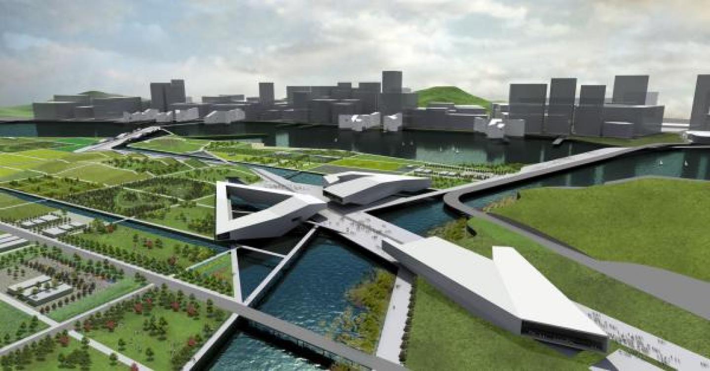
Located two hours south of Seoul by train, the Multi-Functional Administrative City, or MAC, will serve as a fully functioning capital city. Intrinsic to the planning of the region is the city’s open space, placed as a ‘heart’ within the urban context. This open space is situated between a forested mountain and a river that floods yearly. When developed, it will be surrounded by new government buildings, as well as by densely populated areas of mixed use.
We began our investigation with the premise that the cultural institutions could act as an energizer for the park. If spread throughout the park at equal distances, their effectiveness as an attractor would be diminished, but if placed closely together, in a purposeful act of densification, their proximity could act as a vitalizer.
Located on crossing axes that connect site features, the cultural hub becomes the center of the park. The north/south axis links an off-site folk village and the sports complex. The east/west axis connects the dense city development to an amphitheater that was added to the program requirements to draw visitors to the center of the site. As well as being an active destination, the hub’s placement on the edge of the site forms a gateway between city and open space.
The existing grid of the remnant rice fields is reinforced as tertiary pedestrian circulation, crisscrossed by a system of streets. They become the boundaries within which differing program will be implemented over a planned phasing of 20 years. At each intersection one encounters a unique programmatic condition, standing at the point of convergence of diverse uses such as sports field, forest, windfarm and rose garden. Other uses include features such as formal gardens, playgrounds, ice rinks, solar energy fields, rice fields, wetlands, running paths, water reclamation sites, etc. Our proposal also stipulated a policy by which to fund the park. We proposed that the park act similar to the urban condition, in that each plot of land could be sub-divided as need dictated. The cost of development would be subsidized by a city-wide tax on large businesses moving into MAC. Cost would be proportional to the size of business, and would cover park maintenance for corresponding plots within the park.
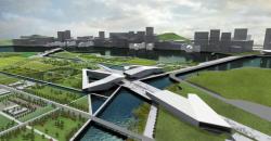
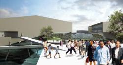
Commercial and leisure program is placed along the west end of the promenade, connecting the residential district across the river with the site, and lending diners views of the water and the wetland habitat beyond. The residential program lines the south bank of the river, and acts as a connective feature on the southern half of the loop. Here, a planned sporting complex is realigned to connect with the densification axis. Another medium density residential area is established to the north {beyond the competition’s limits.} Originally zoned as low density residential spanning the entire eastern edge of the site, this more compact arrangement allows uninhibited flow of the park to the mountainside beyond.
The park is poised to evolve, similar to a city, in that over time uses differentiate and the program size and arrangement will change to meet necessity or desire. The project will not lie as a static formal construction within a bustling city.
2007
Studio Shift
.jpg)
Favorited 4 times