"The floor seemed wonderfully solid. It was comforting to know I had fallen and could fall no farther," wrote Sylvia Plath in her book The Bell Jar. However, the reality beneath our feet is far more complex and profound.
-The Multilayered Nature of Earth
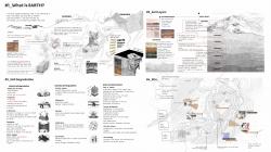
“Just as the atmospheric air is multilayered, so is earth more than monolithic. It is extremely differentiated across an ever-proliferating surface in the form of continents, bioregions, valley basins, alpine ranges, deserts, dells, fields, and forests.”
(Elemental Philosophy: Earth, Air, Fire, and Water as Environmental Ideas by David Macauley)
-Soil Stratification
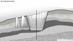
Soil is vertically distinguished into stratified layers, starting with the fertile and cultivable epidermal 'skin' of the upper layer, moving down to the darker subsoil, and eventually reaching the more inert regions and molten core. In geology, these layers are referred to as horizons or strata. The horizontal horizons consist of soil layers with differentiated characteristics, while the deeper, more lithified layers that begin to lose the characteristics of soil are known as strata.
-Impact of Human Activities on Güzelbahçe Terrain
Degradation from Quarry:
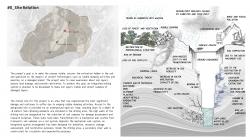
The Güzelbahçe terrain serves as a vivid example of the impact of human activities on soil layers. The first source of degradation is the quarry that once operated in the area. Quarries primarily destroy vegetation to prepare the land for excavation, disrupting the morphological structure and increasing the risk of erosion. This process leads to a loss of soil fertility. As the excavation progresses underground, the overlying soil layer cracks and collapses, with the collapsed area expanding upward until it ends beneath the upper soil layer. The broken soil layer settles on top of the collapsed layer in large blocks, causing sagging and warping in the layers closer to the surface. This movement of the layers ultimately manifests on the surface as ground subsidence and fissures. Additionally, the loss of fractured water-retaining rocks during excavation leads to the depletion of groundwater, resulting in decreased soil moisture.
Degradation from Rubble Dumping:
Another significant source of degradation is the ongoing dumping of rubble. Rubble waste is brought to the site containing various foreign materials, such as electronic, plastic, and chemical wastes. These materials cause chemical leakage in the soil layers, posing a biological threat. Dust released during the dumping process turns into mud when it rains, clogging soil pores, hindering permeability, and reducing the soil’s water filtration capacity, leading to a loss of fertility. Additionally, carcinogenic substances like asbestos that mix into the air pose a biological threat to the environment.
-Project Goals
The project is driven by several key objectives:
• Make the Invisible Visible: Expose the often-hidden degradation of soil layers caused by human activities.
• Uncover Hidden Extraction: Reveal the extent of soil exploitation beneath the surface in the pursuit of extraction.
• Speculate on Ancient Technologies: Explore the impacts of obsolete practices like rubble dumping and quarries on a damaged planet.
• Promote Awareness: Increase understanding and awareness of the importance of the earth’s stratified layers.
• Assess and Restore Land Damage: Facilitate the assessment and restoration of damage to the soil and land.
-Implementation of Drilling Concept
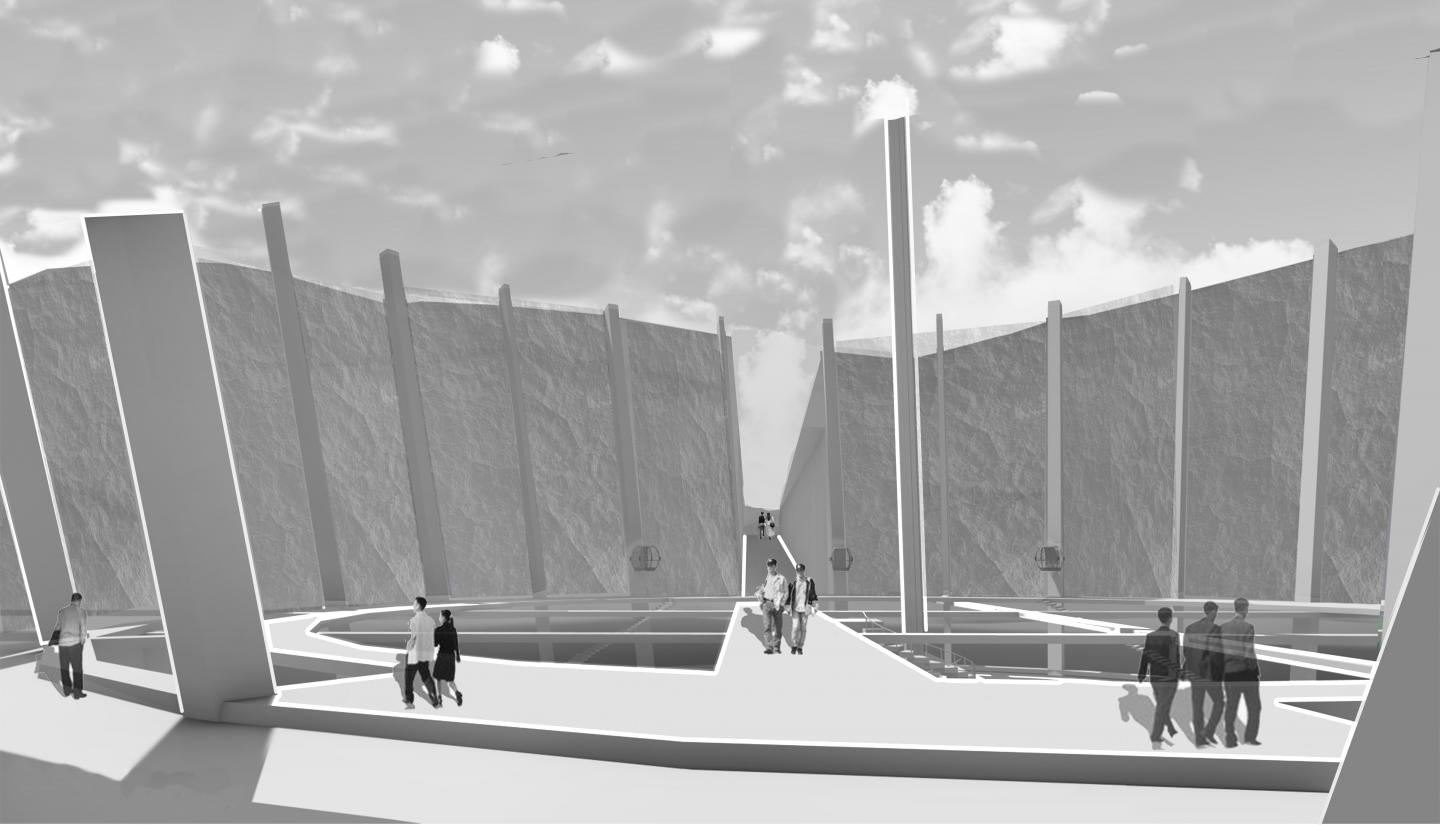
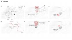
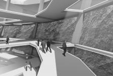
In line with these goals, a drilling concept integrated into the site was initiated to make the soil layers visible and to collect samples from damaged strata. This approach aims to visualize the earth’s complex layers while providing the necessary data to assess and restore the damage caused by human activities.
2024
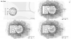
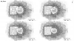
Drilling Area Design and Features:
• Soil-Retaining Elements:
o Installed in the drilling area to support the stability of the site.
o High walls of the drilling void are designated for soil sample collection for damage assessment and research purposes.
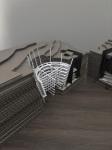
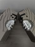
o These walls have been transformed into a mechanical wall system that transports soil samples via a rail system.
• Mechanical Wall System:
o Located opposite the integrated spatial arrangement.
o Designed to collect and transport soil samples using a rail system.
o Facilitates the movement of soil samples within the site.
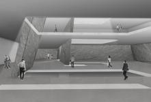
• Secondary Inner Wall:
o Constructed within the drilling area.
o Designed for circulation and experiential purposes, providing access throughout the space.
Level Descriptions:
• First Three Levels:
o Entrance Level (-8 meters): Reception area accessible to all visitors.
o -13 meters Level: Experience and exhibition areas for public engagement.
o -18 meters Level: Shared workspace and research areas for collaborative use.
• Subsequent Two Levels:
Quarrying Activities Levels:
o Dedicated to the assessment and repair of damage caused by quarrying.
o Includes laboratories for geodetic tests and units for conducting necessary repair work.
• Final Two Levels:
Rubble Dumping Activities Levels:
o Equipped with research units and laboratories.
o Focused on assessing and repairing damage caused by rubble dumping activities.
Designer: Meryem Dişci
Instructors: Ülkü İnceköse, Ebru Yılmaz, Ceren Ergüler
Favorited 2 times
