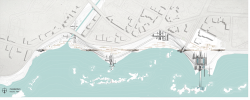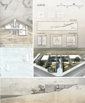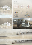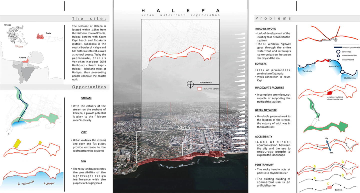
The site:
The seafront of Halepa is located within 1,5km from the historical town of Chania. Halepa borders with Koum Kapi beach and Tabakaria district. Tabakaria has historical interest as weel as natural beauty. Today the promenade, Chania’s Venetian Harbour (Old Harbour) - Koum Kapi - Halepa - Tabakaria stops at Halepa, thus preventing people continue this coastal walk.
The area is 1km in length, 50m in width and 10m in height from the city level and has an intense rocky terrain. The coastal network is connected to the road network with two main roads: the highway of El. Venizelos, which traverses along the area and Iroon Politehniou which intersects the area. One distinguish feature of the area is the stream whose estuary was formerly the beachfront of Halepa, while today it is covered. It is also worth mentioning that today in the area there is only one commercial building. To conclude, based on the above data, the area has both advantages and disadvantages that led equally to the proposed designing.
The idea of intervention:
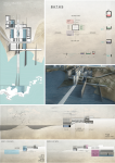
Buildings:
Given the ground plan view of the area which resembles to oscillation (double wave), a corridor to follow this pattern is created. At the higher points of the wave (crests) we place the building (taking advantage of the opportunities of the region), which is necessary for the operation and traffic of the beachfront, creating relaxation and social facilities. The design of the pattern in the form of an oscillation enables a continuous alternation of buildings from the city to the sea and from the sea to the city.
Parks:
?long the area and from its natural terrain a second oscillation is formed. In this second oscillation we place, again at the crests (+10.00, city level, +0.00, sea level), a green path, which leads to parks, following the logic of the first course. Therefore we observe here also an alteration between city parks and sea parks, thing that diversifies their character.
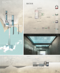
Connections_CROSS POINTS:
(Horizontal connection) These cross points are placed on the balance points of the two oscillations. Their part in the design of the seafront is to operate as orientation points. In each level they serve and a different purpose: ? in the +4.00 level, they create a path of alteration between the buildings and the greenery. ?In the +7.00 level, they create an open space “balcony”- stopover, to which the balance points are highlighted and a visual contact is created between them balance points . ? In the +10.00 level, the city meets the main road network and enters the seafront.
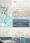
Connectiona_AXIS:
(Vertical connection) Their existence contributes to the immediacy of the relation between the city and the sea. Because of the existence of the four axis at the crests of the oscillation, the ability of a pleasant walk is given to the stroller which leads to a well-designed entrance to the buildings or to the parks.
2017
Maria Ladaki
Maria Ladaki